CARBON-IZER IN HOUSTON
Welcome to the new Carbon-izer in Houston page!
This used to be called "Carbon-izer Goes Uptown Houston" and focused on the area around Westheimer Road, or more accurately, the area in Houston that is west of 610, north of Westpark Drive, east of Beltway 8, and south of the Buffalo Bayou. It does not fit exactly as to what counts as Uptown or not, but it does cover most of Uptown as well as parts of the major Westheimer corridor. In redesigning the site, I've decided to put all the Houston-related content on this page. Due to a major revamp, some stuff is being reorganized. A * indicates the page is either out of date or needs a major rework. A line drawn through it indicates that I no longer consider the page "canon" and will be removed in the near future.
ROAD DIRECTORIES
East Freeway
FM 1960 West (updated!)
Garth Road in Baytown
Gessner Road (updated!)
Gulf Freeway (Harris Co.) (updated!)
Katy Freeway
North Freeway (updated!)
Highway 6 North (new!)
Northwest Freeway - Inner Belt
Northwest Freeway - Outer Belt
Shepherd Drive (includes North Shepherd Drive and South Shepherd Drive)
Southwest Freeway
West Crosstimbers Road, West 43rd Street and Clay Road
West Loop South
Westheimer Road - Inner Loop
Westheimer Road - Outer Loop
Westheimer Road - Outer Belt
----------
Other Houston Roads - Outer Loop*
Galveston & Texas City*
Hempstead*
Montgomery County*
North Houston Roads*
South Houston Roads*
DEDICATED PAGES - UPTOWN
7979 Westheimer Apartments
Adam's Mark
Handy Andy Woodway Square
Marie Callender's on Richmond
Pavilion on Post Oak
Royal Sonesta
Rusty Scupper
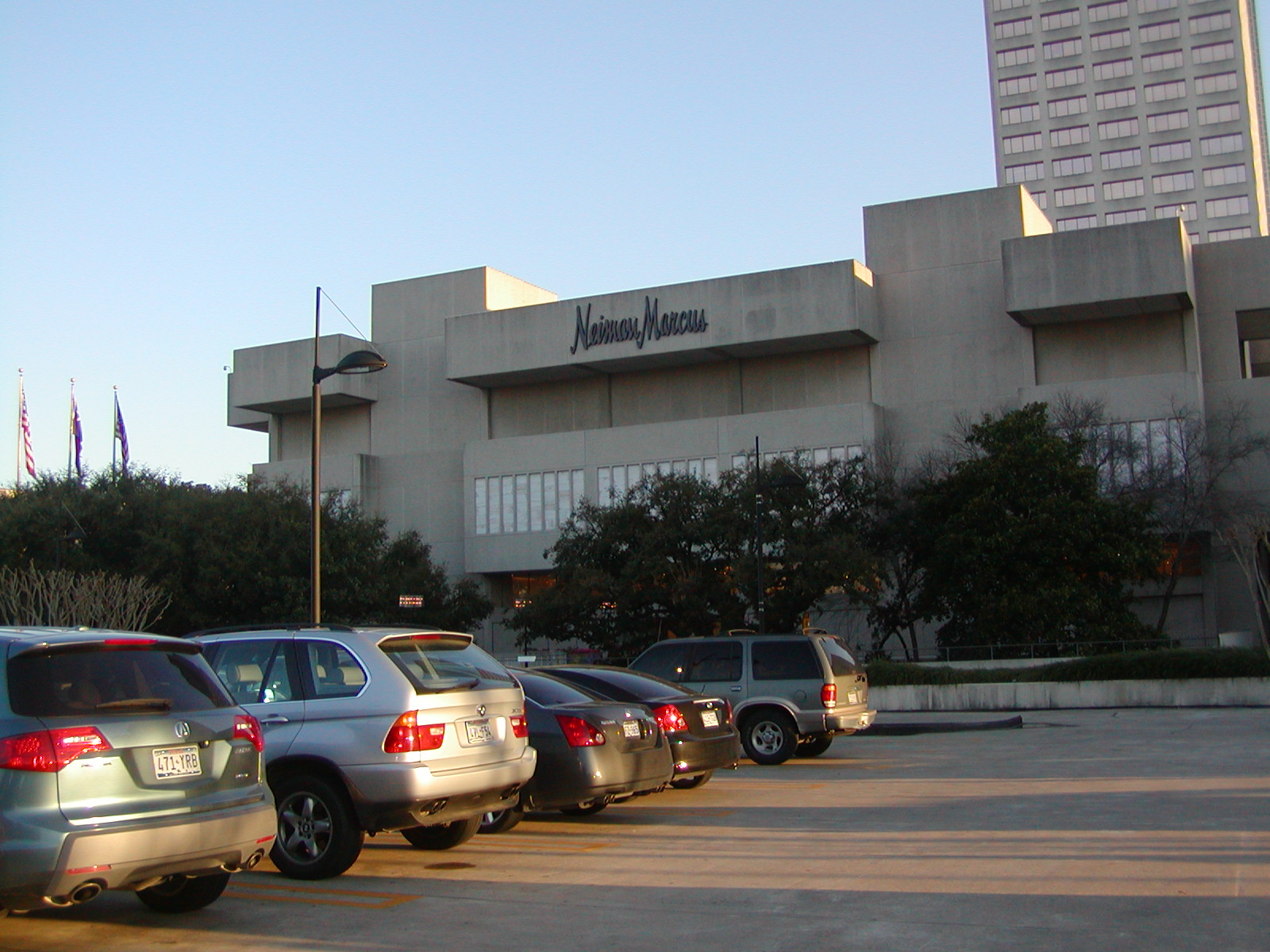
Sakowitz
The Carlyle
The Galleria
Victoria Station
Water Mill Apartments
DEDICATED PAGES - OTHER
Bellaire Randalls
Confederate House Restaurant
The Dead Restaurants of Beltway 8 and Northwest Freeway
Defunct Apartments of Greater Inwood
Farnham Street Starbucks Coffee
H-E-B Stores of Houston*
Hilton Inn Intercontinental Airport
Holiday Inn Central
Holiday Inn Downtown
Houston Inn & Suites
McDonald's in Seabrook
Memorial City Mall
Preference Inn
The Restaurants of Wirt & Chimney Rock
Sears on North Shepherd
Travelodge in the Heights
Westworld Cinema
Willowbrook Mall
THE HOUSTON FILES
These were written and/or have their main home at The Houston Files:
17030-17050 Imperial Valley Drive
Albert Pick Motor Inn / Americana Motor Inn
Barbecue Inn
Former Joe's Crab Shack on Northwest Freeway
Georgia's Farm to Market
H-E-B Pantry Foods #309
Holiday Inn Crowne Plaza at Park 10
Leo's Coffee Shop
Marriott Hotel Brookhollow
Northwest Freeway Center
Quality Inn (Southwest Freeway)
Railhead
Tejas Materials Inc.
NUMBERED EXITS
These were written and/or have their main home at Numbered Exits:
Abandoned 7-Eleven at a Former Kettle Site (Conroe)
Abandoned Hempstead Shell (Hempstead)
AkzoNobel - Houston Plant
24 Hour Fitness at 2500 Dunstan
5151-5153 Antoine Drive
Albertsons at Kings Crossing
Antoine Dental Center
Antoine Drive in Houston
Bear Creek Inn
Bennigan's and Chili's at Beltway 8 and Katy Freeway
Billy Blues and Trail Dust
Brittany Place
Carpet, Texas (Jersey Village)
The Catch Conroe (Conroe)
Chevron / Quiznos (Channelview)
Coles Crossing Shopping Center (Cypress)
Conroe's James Coney Island (Conroe)
Copperfield McDonald's
Country Harvest
Days Inn & Suites - Galleria
dd's Discounts On Antoine
Decaying Former Wendy's
Fiesta Fresh Market (Conroe)
Fiesta Mart #17
Former Annie's Country Store in Conroe (Conroe)
Former Conroe Creosoting Company (Conroe)
Former Sonic on Mangum Road
Fox Hall Apartments
Holiday Inn SunSpree Resort Galveston (Galveston)
The Home Depot in the Heights
KFC at Ella and North Loop
Lowe's at the North Loop
McDonald's / Shell (Montgomery)
North Loop West Entries
Northwest Mall
Karolyi's Gym
Pizza Inn at 1801 Mangum Road
Red Roof Inn La Marque (La Marque)
Riverpointe Shopping Center (Conroe)
Super Isingtec
Taco Cabana Off the North Loop
Sussan Fine Furniture (Dickinson)
Thompson Road Truck Stops (Baytown)
Towne Center North (Conroe)
Whole Foods Market on Bellaire Boulevard
The Victorian (Galveston)
Village Flowery and Wagner Hardware
Yale Marketplace
Return to the Main Page |
Email
Copyright 2019-23 Carbon-izer.com, this site is not affiliated with any businesses listed here.